 Svalbard
Helicopter survey maps glacier hazards on Svalbard
The Governor of Svalbard has published two reports on hazards along Svalbard's most used glacier routes, the Governor said on Tuesday 3 November. The reports come from a helicopter flight on Thursday 1 October with UNIS, the Norwegian Polar Institute and the Longyearbyen Red Cross glacier team. The weather was sunny, with snow of unknown depth on higher ground.
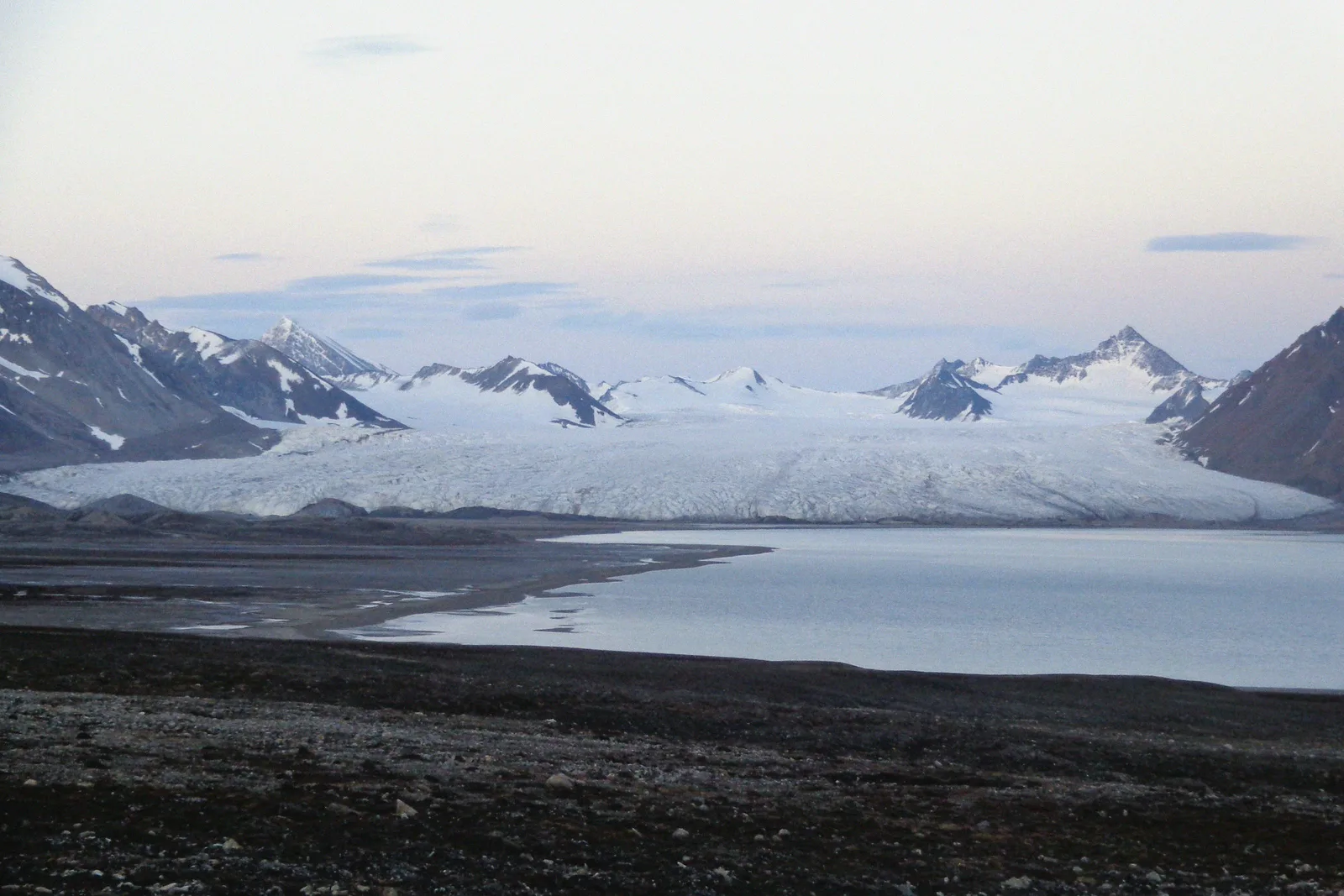
Part 2 covers the most used snowmobile and ski route from Dicksonfjorden to Ny-Ålesund. The route goes up Holmstrømbreen, which the report calls fairly stable. Sefstrømbreen and several glaciers further south in Isfjorden are moving a lot, it says.
Holmstrømbreen has several meltwater channels. On its north side, towards Stavkyrkja, one channel is up to 10 metres wide. Keeping to the middle of the glacier stays clear of it, the report says.
The critical point on the route is the descent onto Kongsvegen. There is only a narrow passage. Crevasses run in the direction of travel towards Kongsfjorden, and there is a large meltwater channel towards Kongsvegpasset. Otherwise the route looks much as it did in spring 2026.
Arthurbreen, on the way down to Sarsøyra, showed the largest change since last winter, with several meltwater channels. On Aavatsmarkbreen, on the route to Kaffiøyra, a crevasse field stretches across almost the whole front of the glacier. A narrow passage on its south side gives access, and the report says to drive it only in good weather.
Part 1 covers eastern Svalbard. On Nordmannsfonna, the normal route keeps far to the left because of crevasses. The upper part of Gnombreen is a crevasse field, and its northern end has crevasses covered by snow bridges. The report advises keeping well away and holding height before turning down to Adolfbukta.
On Lomonosovfonna, crevasses west of Opalbreen remain from an earlier surge of Negribreen, and travellers heading north must take them into account. Low cloud stopped the flight over the rest of the Møysalbreen and Rugaasfonna area.
The reports describe only the areas that looked most challenging from the air. Crevasses and meltwater channels not in the reports should be expected, and conditions may have changed since the flight. "Safety is the responsibility of the individual," the Governor said.
In April, a 75-year-old Czech traveller was found dead about 20 metres down a crevasse on Skilfonna in southern Spitsbergen. He had been travelling alone towards Sørkapp. Skilfonna is not on the routes in this year's reports.
Both reports are only in Norwegian.